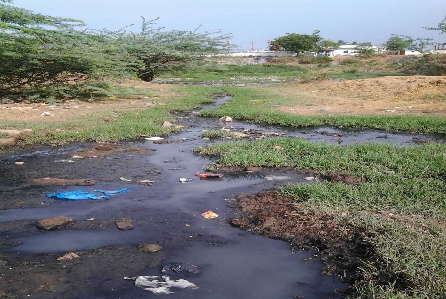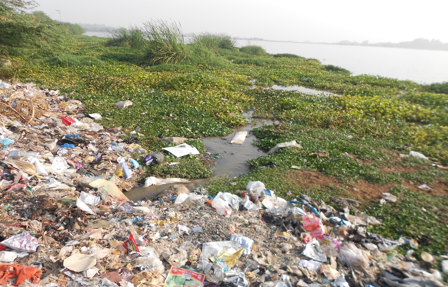
| Study Area | Mir Alam, Himayatsagar and Umdasagar falling under Hyderabad Metropolitan Development Authority (HMDA). |
|---|---|
| Duration | January 2012 to December 2013 |
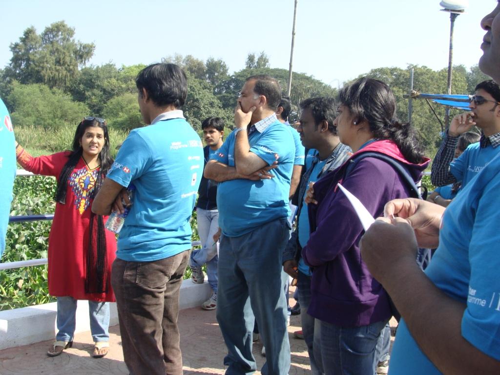
| Partners | National Institute of Advanced Studies, Bangalore, International Institute of Information Technology, Gachibowli, SOUL, Hyderabad |
| Funder | Department of Science and Technology, India & Earth Watch Institute |